Sediements:
|
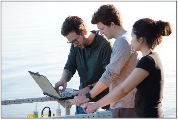
Lead PI: Jordon Beckler In healthy environments, sediments can act as a reservoir for nutrients. However, in unhealthy systems, sediments can release large amounts of nutrients back into the water column and fuel harmful algal blooms. This project seeks to better understand how this process occurs by measuring the movement of key nutrients in and out of the sediments. For more information: |
 |
|
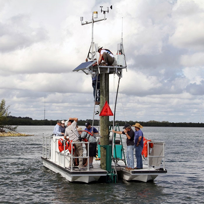
Population growth and increasing anthropogenic inputs of nutrients have caused major ecological shifts within the IRL. Researchers seek to determine the concentration of key nutrients and how they vary by location and time of year. Using both lab and field measurements, researchers can not only get “snap-shot” views of water quality in the lagoon, but also real-time data from 10 different monitoring stations in the IRL. Scientists can use this information to better understand how nutrients like nitrogen and phosphorus impact the phytoplankton community and determine potential reservoirs capable of initiating future blooms. |
|
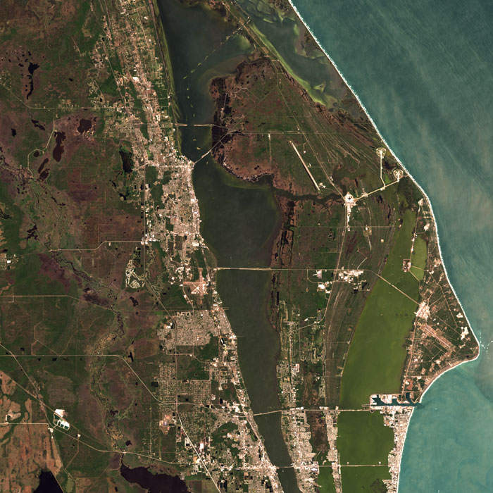
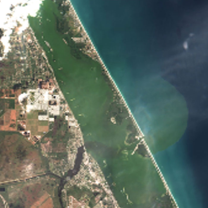
Scientists and engineers also use satellite imaging techniques to detect areas where high abundances of algae may be present. This allows for our researchers to get large scale information on the distribution of a variety of algal species in the Indian River Lagoon as well as changes due to weather, tidal exchange or anthropogenic freshwater releases. This data can then be combined into an integrative computer model to help researchers predict when and where HAB events may occur. |
|
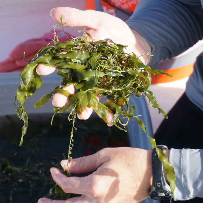
Lead PI: Brian Lapointe Elevated levels of certain nutrients, like nitrogen and phosphorus, are one of the driving factors of HABs. Researchers collect samples of water, sediment and algae from the IRL in order to assess pollution levels in a region. Scientists also use specific nutrient “markers” to determine the likely sources of pollution. Extensive sampling of an array of sites during various seasons provides a better understanding of the IRL and its watershed. |
|
Lead PI: Mike Twardowski and Timothy Moore Remote sensing is a powerful tool for broad detection and monitoring of HABs on fine scales over large areas. These imagers detect light that is reflected off the water’s surface and generate large data sets that reveal the amount of chlorophyll (from algae) present in an area. Scientists can also recognize distinct groups of algae and estimate their abundance. These technologies allow researchers to better identify variability throughout the IRL and select specific sampling sites for closer study. |
|
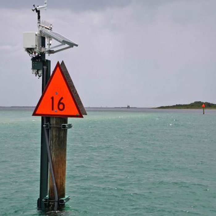
The Indian River Lagoon Observatory Network (IRLON) was launched in 2013 to investigate environmental parameters in the IRL and the impacts of natural and human-induced stressors. Each station contains environmental sensors which provide real-time, high-accuracy, high- resolution water quality and weather data through an interactive, publicly accessible website. Key elements of this project include ecosystem-based research, a network of advanced observing stations and collaboration among organizations. |

|
Lead PI: Mingshun Jiang An integrated ecological model is being developed to better understand the dynamics of HABs in the Indian River Lagoon, predict future events and evaluate wide-scale ecosystem impacts. This model will take into consideration data collected from the many research projects conducted under the Florida Center for Coastal and Human Health as well as major environmental drivers like physical parameters, weather patterns, hydrology, nutrients and predator-prey interactions. |